GPS Photo Location On Map with AdMob Ads Android
GPS Photo Location on Map is a user-friendly app designed to enhance your photo-sharing experience by adding any current location information to your images. With GPS Photo Location on Map, you...
Make Someone's Day
Make someone's day by sharing this incredible item with them!
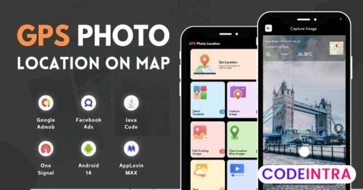
GPS Photo Location on Map is a user-friendly app designed to enhance your photo-sharing experience by adding any current location information to your images. With GPS Photo Location on Map, you can effortlessly capture memories with location tags in a map view.
This GPS Photo Location on Map app also allows the option to add location details to an existing image, select from the gallery, and add a location tag to the image. The app also allows users to view images location-wise. Save all your captured images and videos in the app gallery.
Now you can capture all your memories with a live location tag by using this GPS Photo Location on the Map App. The app allows users to set a location with their current address and latitude and longitude details.
GPS Photo Location on Map has multiple templates with which you can capture every image with a different tag view. Pick one of your choices from the collection and capture the moments with this beautiful location tag.
Key Features of GPS Photo Location On Map:
- Pinpoint the location where your photos and videos were captured
- Map view feature where you can see the location map view
- Automatically organizes your photos based on their location
- It is easy to save the photos and videos into the app gallery
- You can save live location details with the Set location tool
- Multiple templates are available
- Option to add location details in your existing gallery images
- Google AdMob, Facebook ads Integrated
- Android 14 Support with SDK 34
Item Details
| Price |
$4
|
| Views |
9
|
| Version |
4 June 2024
|
| Last Update |
17-Jun-2024
|
| Release Date |
17-Jun-2024
|
| Category | |
Order Confirmation
Please confirm your order. Once you confirm, the total amount will be deducted from your wallet, and the order will be placed. If you wish to make any changes, you can edit your order before pay.
By confirming, you also agree to our refund policy. Please make sure you've read and understood the terms.
Note: Coupon is applicable for items above $50
Related Items

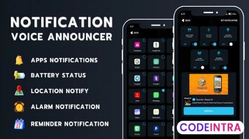
Notification Voice Announcer with AdMob Ads Androi

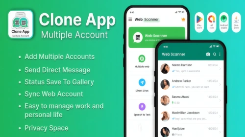
🔗 WhatsClone Pro - Multi-Account Android App Source Code Ready for Customization 🚀

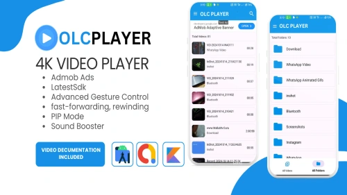
🎬 OLC Video Player - Android App Template for Seamless Video Streaming! 📱


